Page 1 of 1

Posted: Tue Jul 25, 2006 9:17 pm
by DX
Mosquitoes got away with Duxburian blood, but it was worth it for these pictures. Now you can put images to those places named in the Battle Reports. Also, you can finally put yourself in our shoes and see if you've got the guts to fight where we fight:

Image

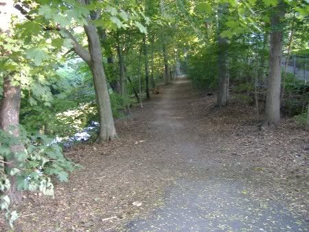
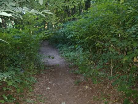
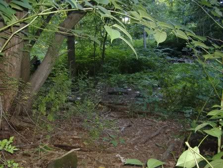
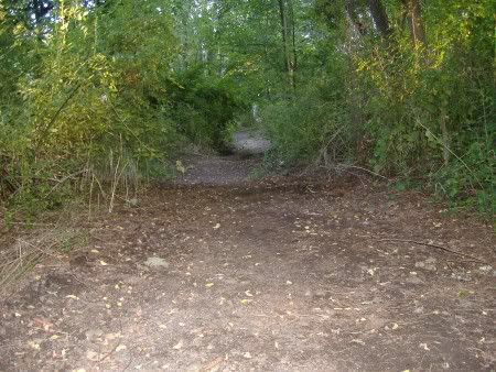
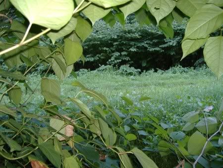
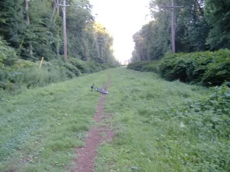
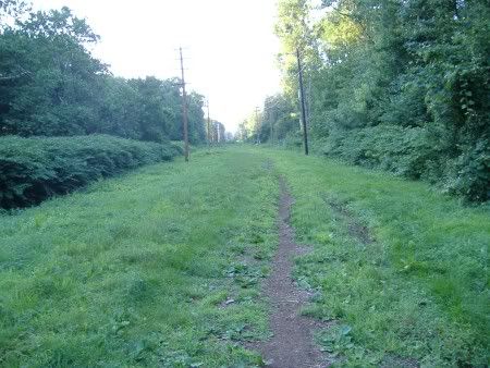
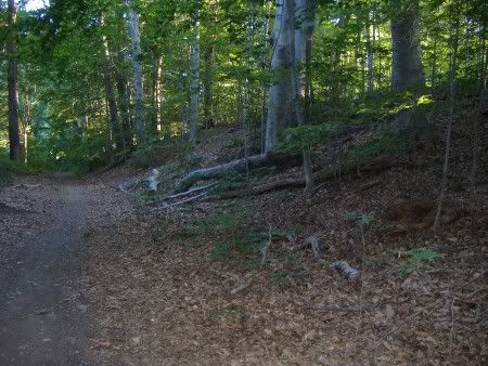
^Looking down the entrance path from the Spring St. Bridge [West Bank].

Image

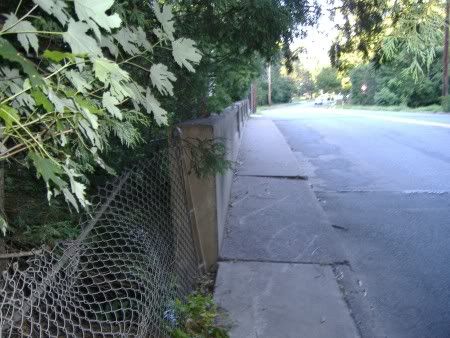
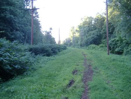
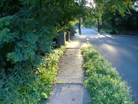
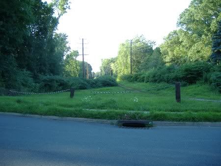
^Looking down the public right-of-way from the Spring St. Bridge [East Bank].

Image

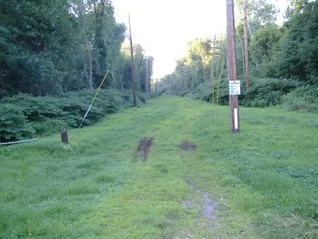
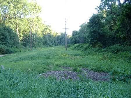
^Looking up the northern extension of the East Bank past the bridge.

Image

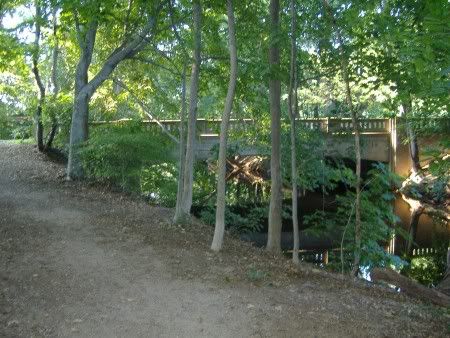
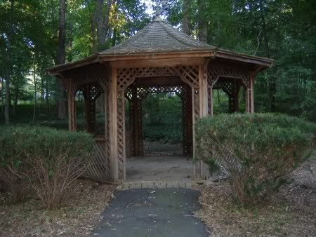
^The Spring St. Bridge itself.

Image

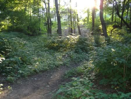
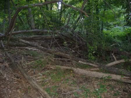
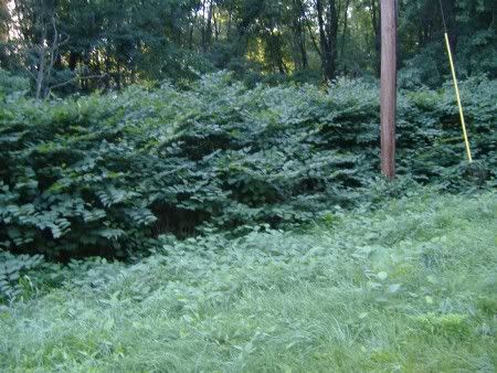
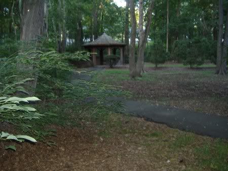
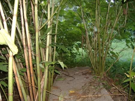
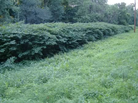
^The beginnning of the Bluff, which actually isn't very tall.

Image

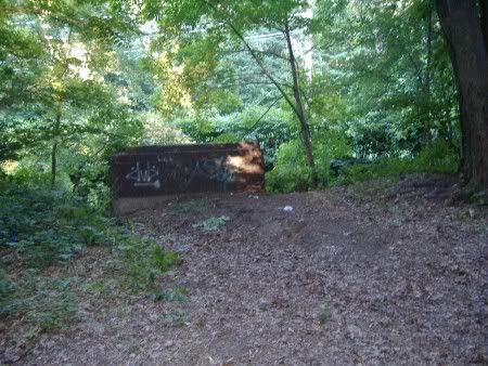
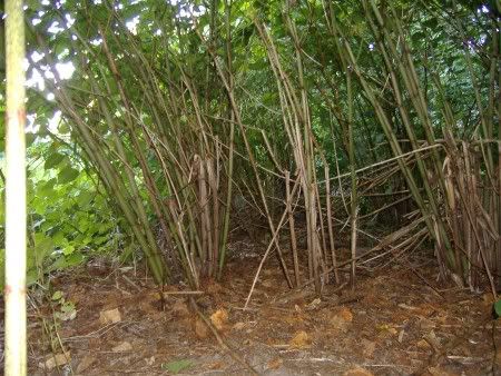
^The concrete block, which has served as a nice hiding place that rarely gets checked. If you need to get in the enemy rear, hide here while the enemy passes by.

Image

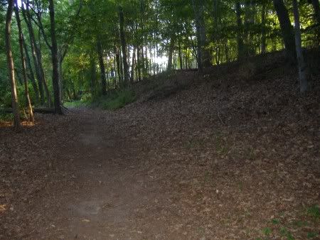
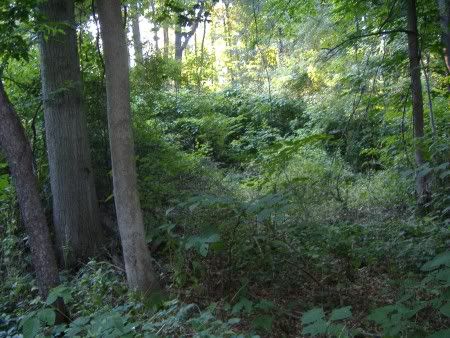
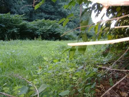
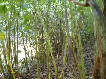
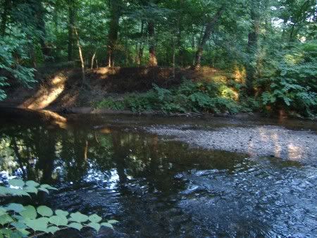
^The end of the Bluff, located at the center of the West Bank, about half a mile in from both bridges.

Image

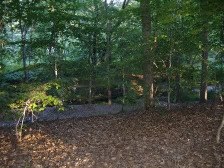
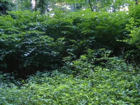
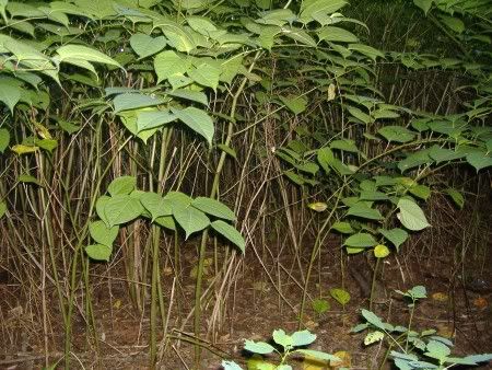
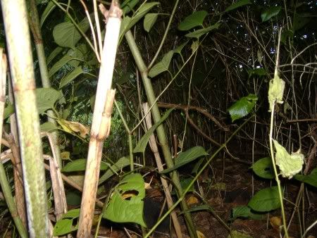
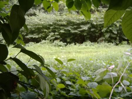
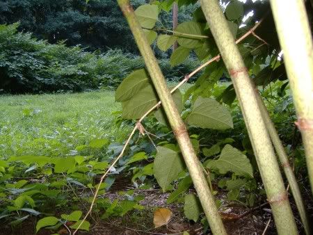
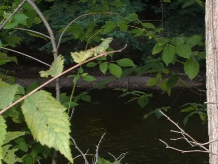
^The view from the position in the last picture. During the Summer it gest difficult to see anything due to the vegetation.

Image

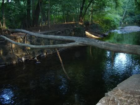
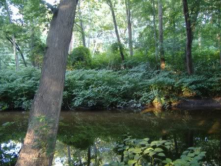
^The Water-bridge. Rarely crossed, for it sucks to fall in from there and people have.

Image

^A defensive position used by the Ridgewood Militia. Only has been used once, but to great effect with a 3-and-out on Waterbridge.

*More in the Next Post*


Edited By Duxburian on 1155353697

Posted: Tue Jul 25, 2006 9:20 pm
by DX
Image

^Once past the Bluff, the main path gets dangerous. The reeds come in very close and make for a perfect place to get screwed.

Image

^Looking across the brook to Echopont, an old Waterbridge fort embedded deep in the reeds. You can't even see it during the Summer!

Image

^Telos-Groven, which used to be a fort complex. Now it is one giant patch of reeds. Useful for ambushing and hiding.

Image

^The edge of the Sacred Grove, the thickest and tallest reeds area in the park.

Image

^At the very fringe of the Sacred Grove. Attacking this position is suicidal.

Image

^Another thick grove as seen from the Stonewall entrance.

Image

^The ruins of Stonewall [a tree fell on it]. Built in 2003 by the Stonewall Insurgency, which eventually became the Ridgewood Militia. The last major position of the fort-building era. The fort got its name for the thick front wall, built to withstand direct artillery hits. With the shift from forts to reeds, the ruins of Stonewall have been abandoned.

Image

^Looking directly into the Sacred Grove.

Image

^Looking down the Brier Hill part of the main path toward the Grove St. Bridge.

Image

^Looking across the Grove St. Bridge. The area in the foreground is perfect for "trolling the bridge" and giving the enemy an unwelcome surprise.

*More in the Next Post*


Edited By Duxburian on 1155353766

Posted: Tue Jul 25, 2006 9:35 pm
by DX
Image

^Looking down the East Bank from the Grove St. Bridge.

Image

^The land path to Echopont. Non-locals would have difficulty finding this path...

Image

^A hidden path reveals this interesting, seemingly random open area.

Image

^The Gazebo. Due to the open-ness, it does not see much use or action.

Image

^The thickness of the reeds area hiding the gazebo path.

Image

^The "Perfect Ambush" area, Nibordude's position on the far side.

Image

^The "Perfect Ambush" area, Duxburian's position on the near side.

Image

^The "Perfect Ambush" area, Smeasle's position on the near side. The RM accomplished the most perfect ambush ever from these positions. And we executed it differently than a normal ambush. However, we still use said ambush tactics, so they cannot be revealed.

Image

^The protection from a ford-based attack on a reeds ambush position.

Image

^The "Perfect Ambush" area, Duxburian's position without the camera flash. This is exactly what it looked like to me.

*More in the Next Post*


Edited By Duxburian on 1155353831

Posted: Tue Jul 25, 2006 9:45 pm
by DX
Image

^You can see all the way to the OB line at the Grove St. Bridge from the "Perfect Ambush" position.

Image

^The Central East Bank, flanked by great ambush positions and the most dangerous area in the park. Newbs and vets alike get slaughtered here.

Image

^The view from a typical ambush spot.

Image

^It looks light in there, but it's pitch dark without the camera flash.

Image

^Looking all the way to the OB line at the Spring St. Bridge from the Central East Bank.

Image

^The closest ambush reeds to the Spring St. Bridge. An enemy is invisible in there from as close as 5 ft. away!

Image

^The gravel bar we refill at. Terrible picture from the opposite bank, but the mosquitoes were making things rough by this point. I had to stay on the East Bank to avoid them.

Image

^Looking across the Spring St. Bridge.

If you bothered to read this far, I have a reward for you! This is what it is like to get into ambush position in the reeds and pop out! Pretty good quality for a digital camera...

Into the Reeds Clip

Out of the Reeds Clip


Edited By Duxburian on 1155353938

Posted: Wed Jul 26, 2006 5:32 am
by WaterWolf
Those are some great photos. So you get a whole park to yourself for water war? Sweet. :cool:

Just to give me a sense of size, how many acres is this park?

Posted: Wed Jul 26, 2006 6:27 am
by DX
I don't know how many acres, as we measure our battlefields in miles. :p This one is almost exactly 1 mile long, and is roughly 1/16-1/4 of a mile wide.

I will post pictures of the Goffle later. The Goffle is the larger park, the whole thing being 3 miles long and 1/4-1/3 mile wide.

Posted: Wed Jul 26, 2006 6:34 am
by WaterWolf
Wow, thats quite the battle field.

Posted: Wed Jul 26, 2006 10:48 am
by Adrian
Incredible battlefield. Y'all should count yourselves lucky - you've got a spot to fight in the envy of every waterfighter online.

Adrian

Posted: Wed Jul 26, 2006 1:39 pm
by urbanfighter7
Looks like an awsome battelfield to me.I wish I had a battlefield like that.I look forward to seeing the pics of the Goffle too. :)